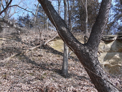
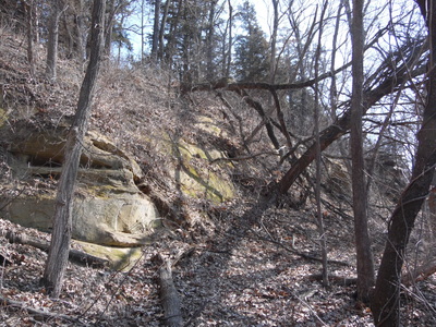
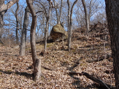
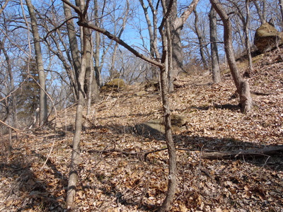
goat hill
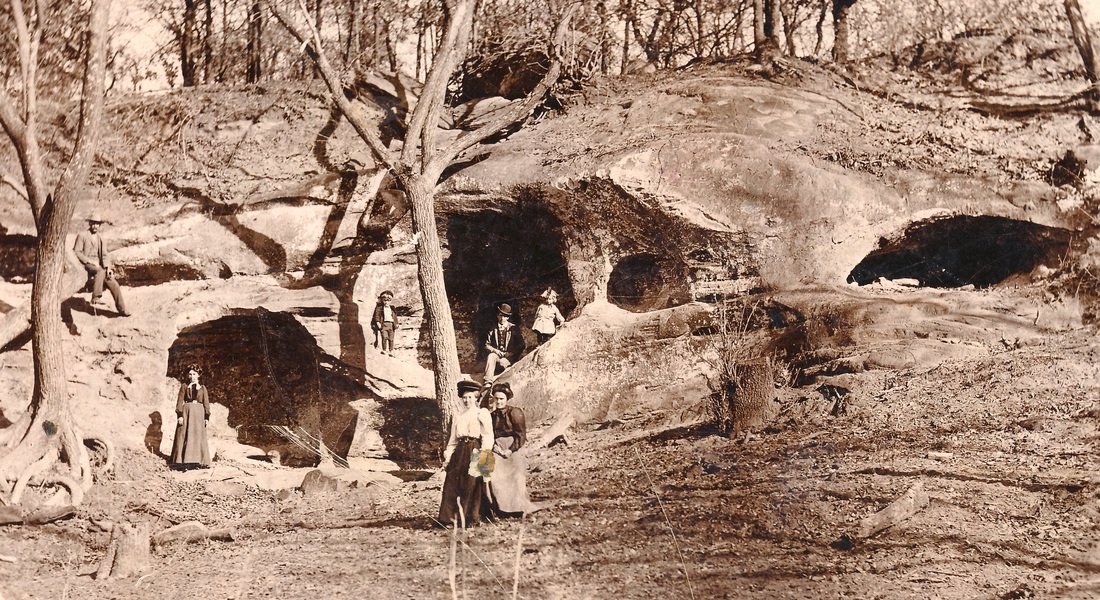
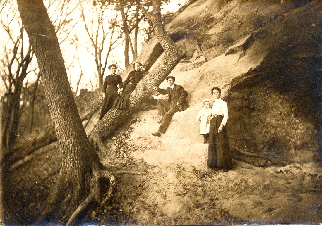
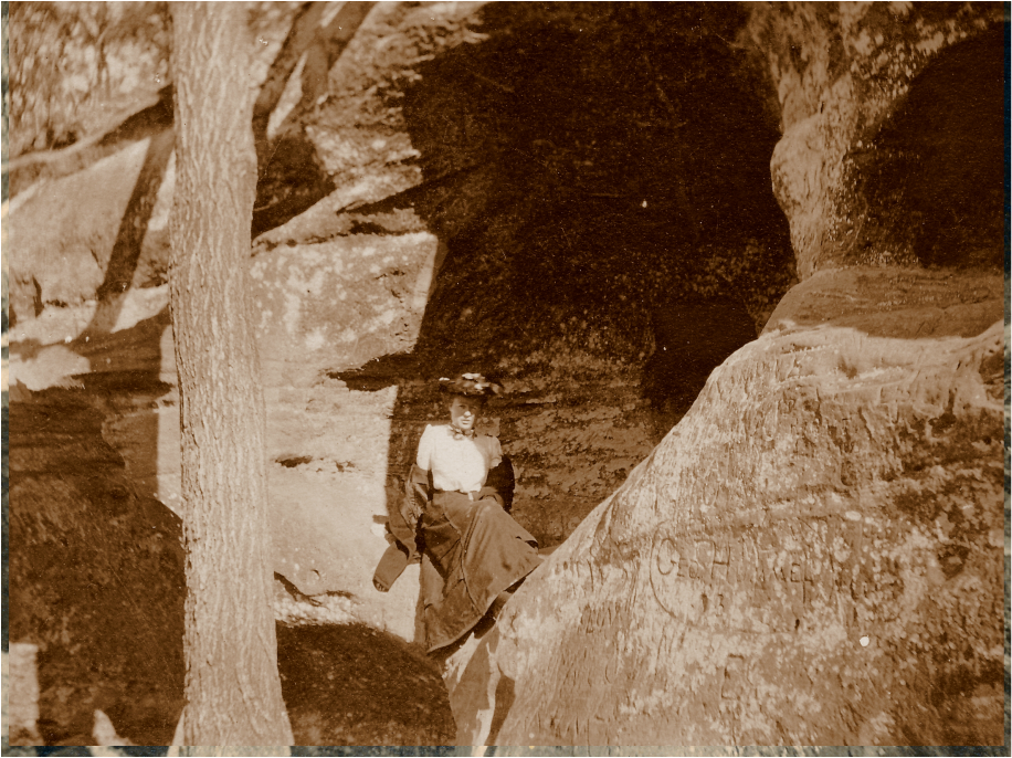
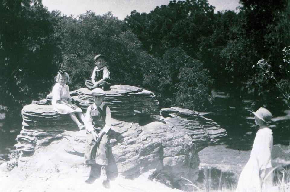
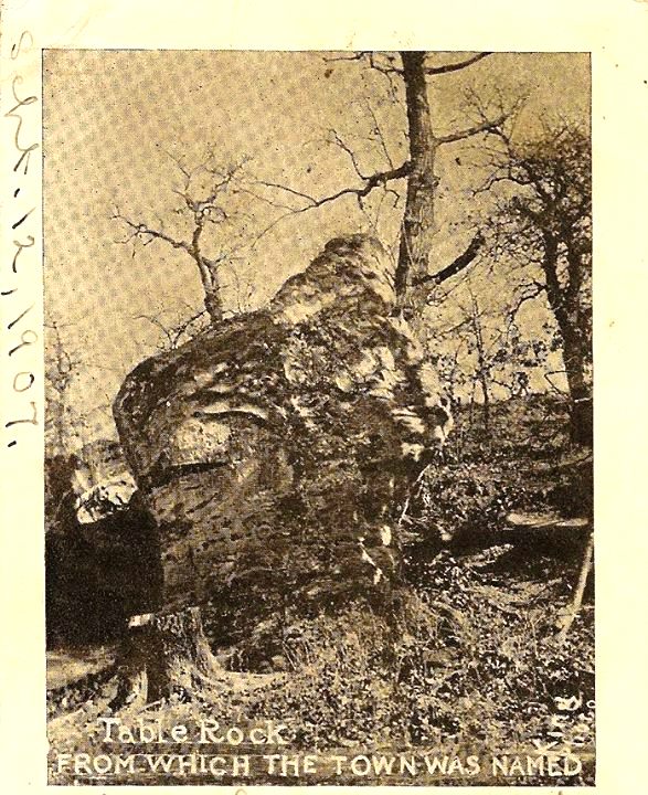
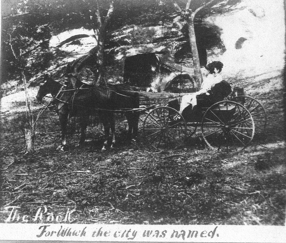
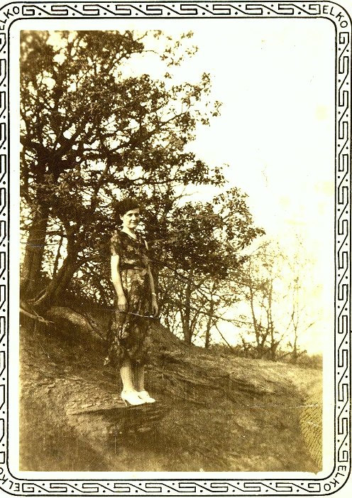
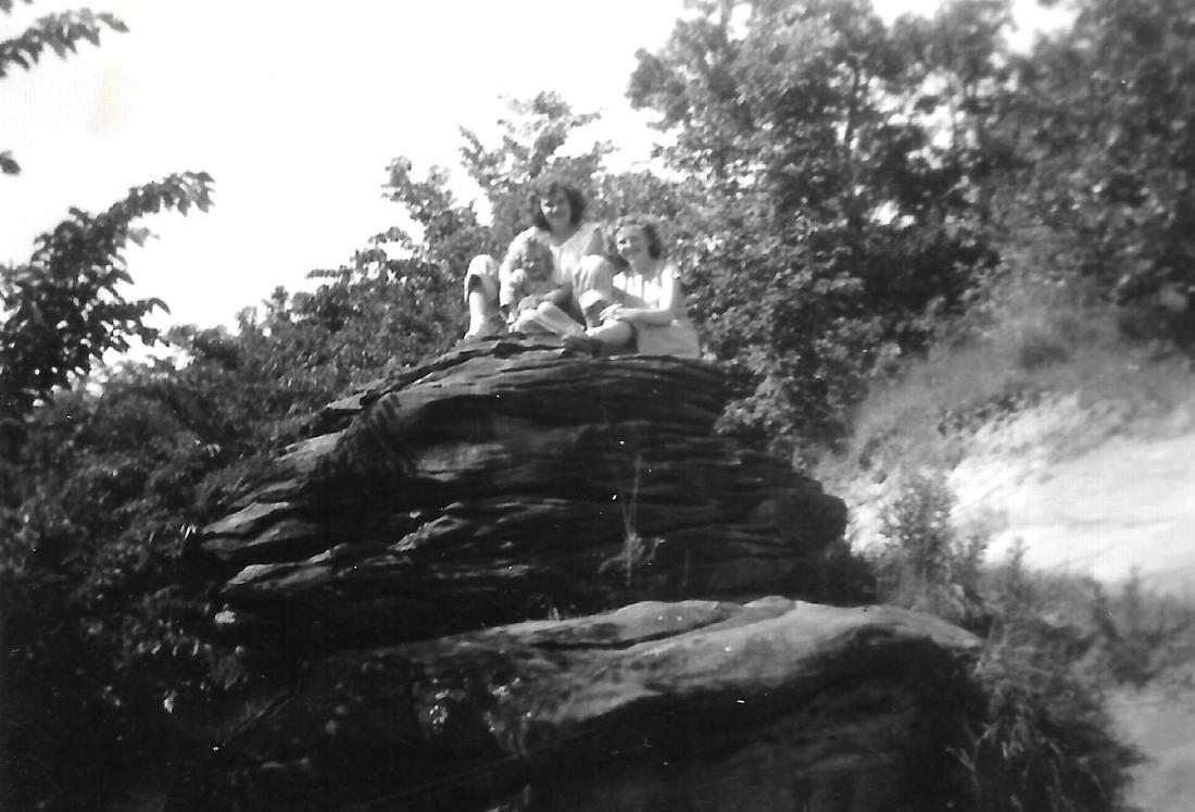
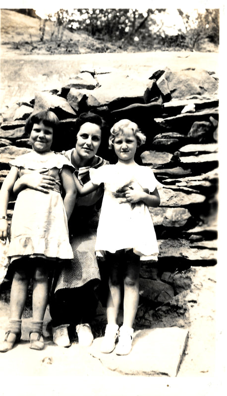
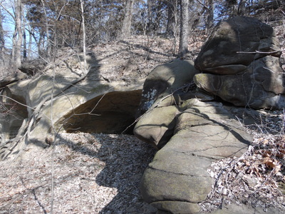
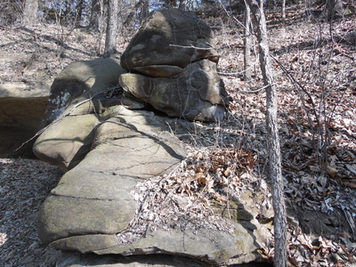
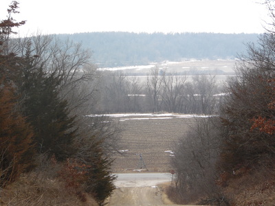
Out at Goat Hill is a lot of history. "The" Table Rock was there, and caves and other rock formations are still there. In the 1930s, the area was known as Van Fleet Park, after Peter Van Fleet who owned the land, then or previously. We've all been out there when we were kids "discovering" what generations of kids had discovered before.
|
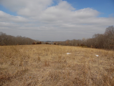
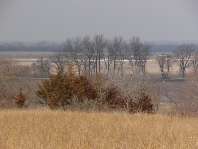
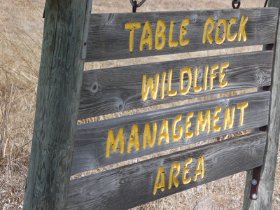
Today, the area on the west side of the road is one part of the 400-acre Table Rock Wildlife Management Area, and public land. In one source online, the Wildlife Management Area is described as "a hidden gem" that is comprised of "a unique combination of grassland, cropland, and wooded bottomland, providing many diverse landscapes and views for those who like to hike."
|
historical pictures
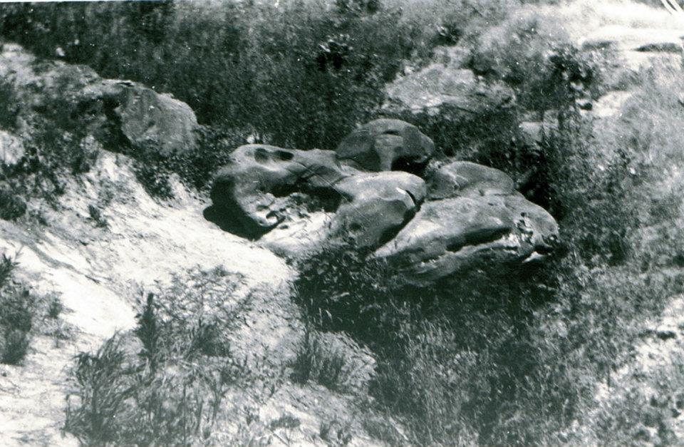
Photo 101:
Photo 151:
Photo 146:
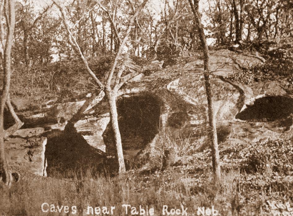
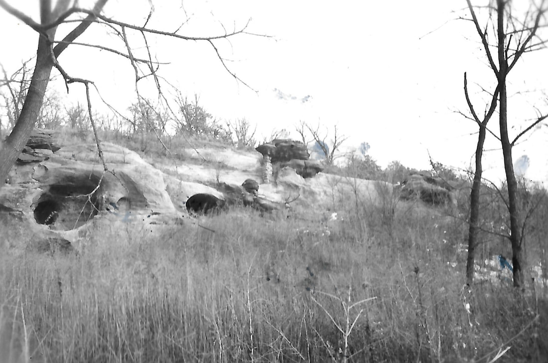
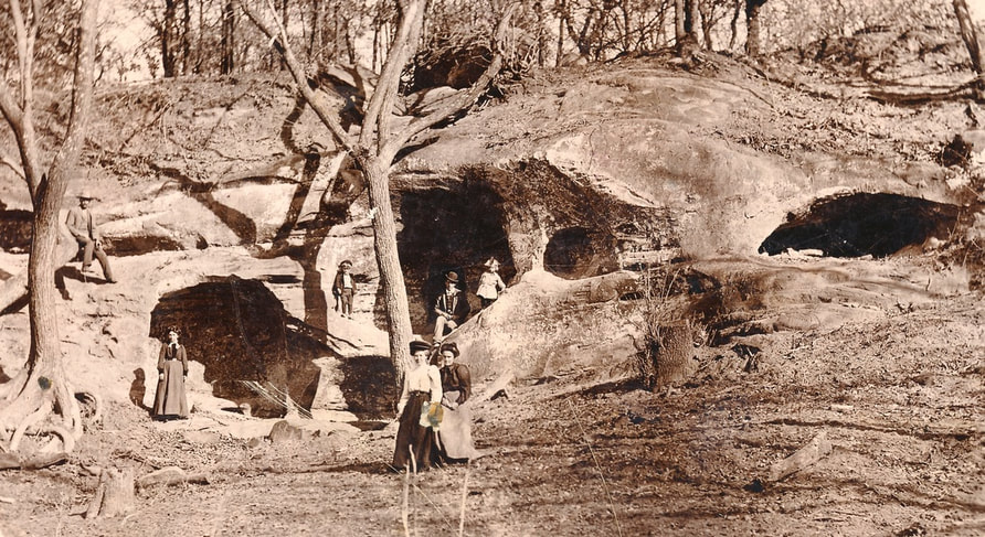
Photo 924, postcard of the caves by local professional photographer Asher King:
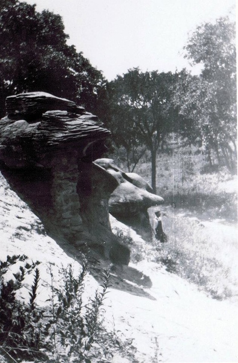
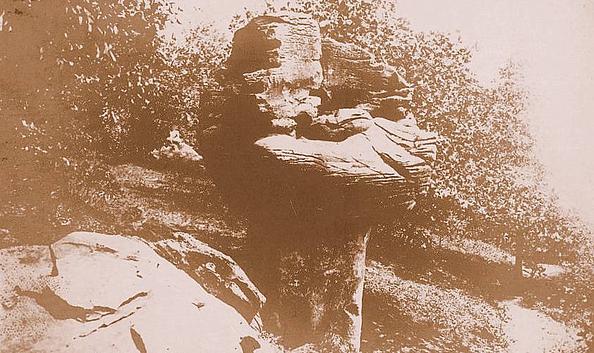
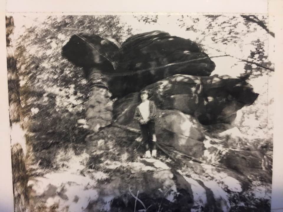
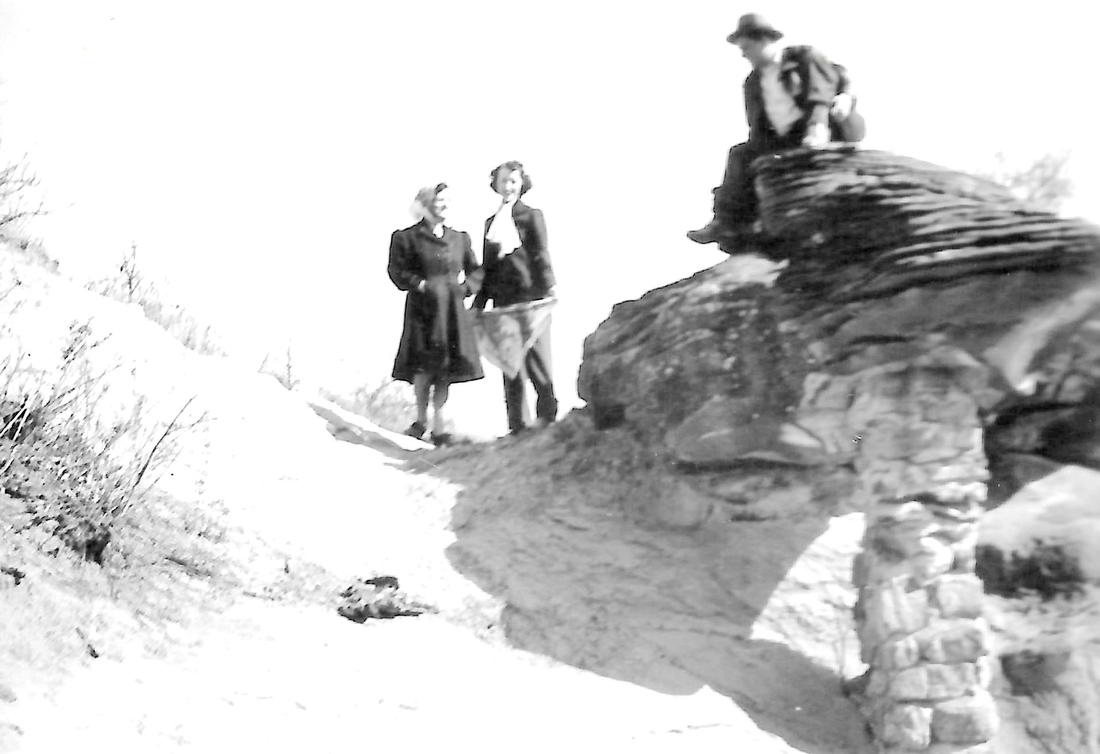
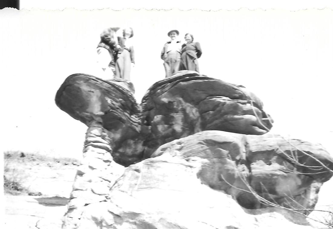
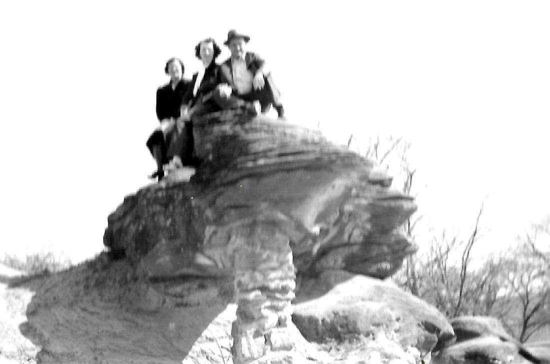
Photo 923, old postcard of Mushroom Rock. It is no longer there. It was pushed over by J. D. Harrison.
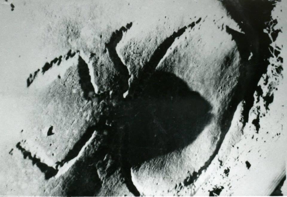
Photo 65, Spider Rock (petroglyph of a spider). Taken by a World Herald Photographer in 1978.
whatever happened to the table rock? |
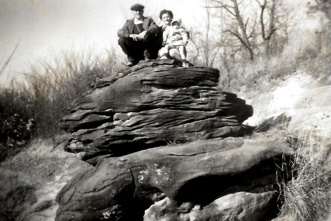
Above you see pictures of caves, Mushroom Rock, Turtle Rock, and a variety of smaller formations. But not the Table Rock. Why? Because it fell down at some time prior to 1869, apparently naturally, unlike Mushroom Rock, which was later pushed over.
The people of Table Rock have long been fascinated with "the" Table Rock. Just as we today did not discover love or death or the need for speed, we are not the first to wonder about it.
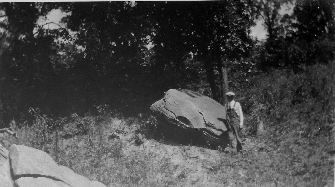
In 1933, a Bunker Hill resident, Elsie Pepoon Sutton, went out to investigate. The Table Rock had been gone maybe 65 years by that time. The "wreck" of the rock was still there.
Elsie found two people who were still alive who remembered "the" Rock, a Mrs. Wert and a Mrs. Holmes. (Mrs. Holmes was Lydia Giddings Gere Holmes, daughter of Table Rock founder C.W. Giddings and widow of John Gere, who was killed by Indians and after whom the Table Rock G.A.R. post was named.) She also talked to people who were perhaps only once removed from personal recollection, i.e., they reported what someone who actually was there told them.
Elsie preserved those recollections of the Table Rock. Kim and Kris Vrtiska then made her history accessible by retyping it and getting it online and now here.
The names mentioned here include Ann Dobson Wert, John Randolph Allen, Lydia Giddings Gere Holmes, Gabriel Joseph Morton, Ruth Lekert Nickelson, Mary Haywood Wood, Nancy McNeil Morton, Fannie Giddings Norris, Percy Pepoon, and J. D. Harrison.
hundreds of people at van fleet park, 1931 & 1934
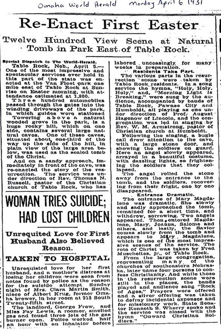
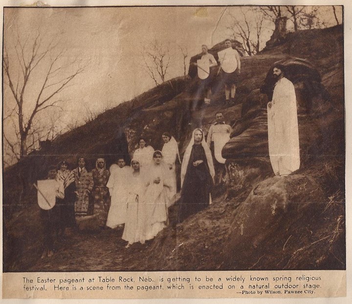
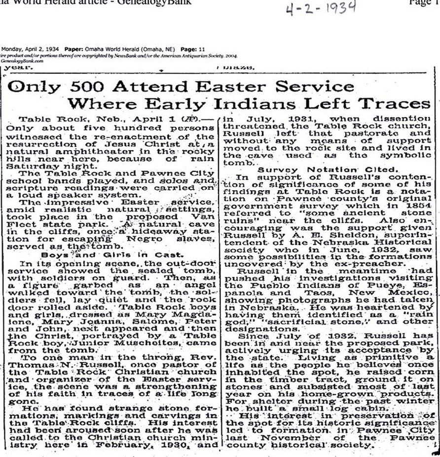
In 1931 and 1934, Easter sunrise services were held at the Goat Hill area, then called Van Fleet Park. They included a resurrection pageant, and attendance was huge. These articles also tell of the efforts of Reverend Russell of the Christian Church (although he split from the church in the midst of this all) to preserve the Goat Hill formations.
1931, Document 50. This is a news clipping from Historical Society member Terry Hunt Korell about the Easter pageant. Her Uncle Fred was in it. About 1,200 people showed up for one of the most impressive and spectacular" services around here, which is described in the article in detail. Christ was played by Terry Korell's Uncle Fred Muscheites.
State Senator Kenneth Wherry spoke. Three bands played together -- Table Rock, Pawnee City, and Humboldt, led by August Hagenow of Lincoln -- he was the bandleader who led the newly-formed Table Rock School Band to a state championship in 1929.
Of note:
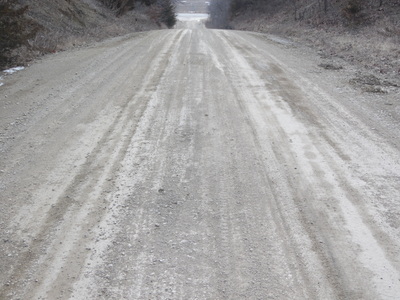
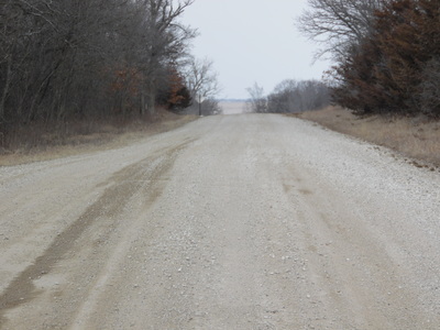
The park had "winding driveways." There are none there now. The present road is certainly not winding and that is all that is now present. (According to Lloyd Vrtiska, the road going up Goat Hill was put there to provide access to town impeded by a lost bridge.)
In 1931
In 1934:
then and now
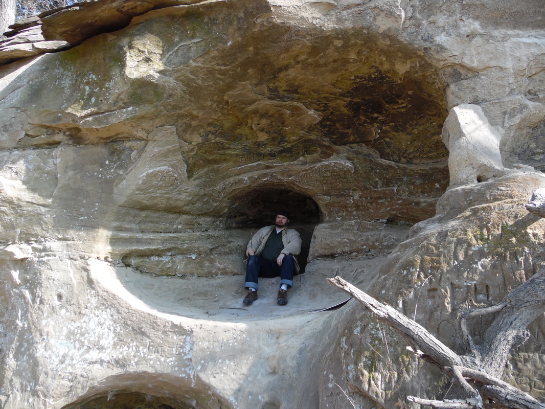
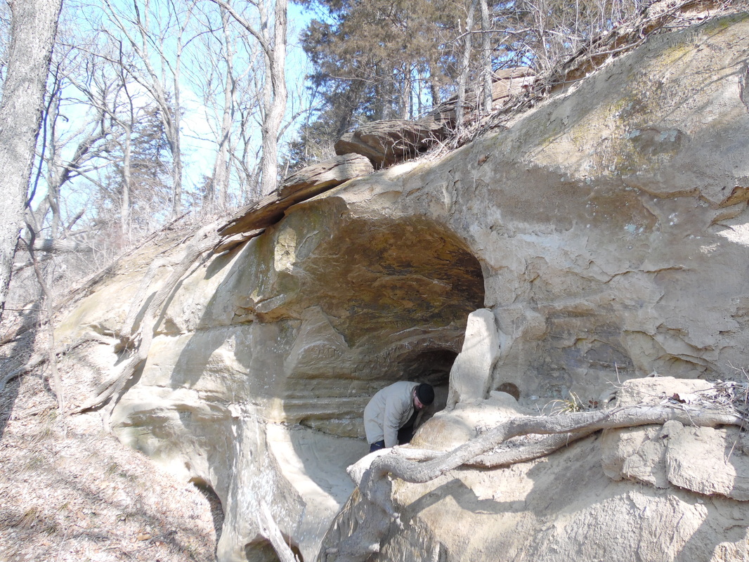
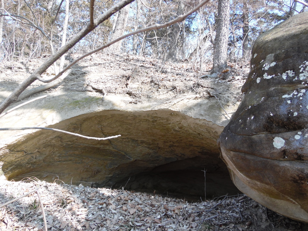
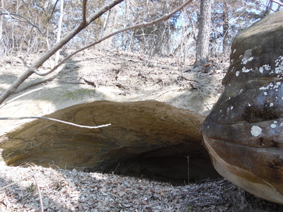
The cave on the left is now buried, the middle cave a little bit so, and the cave on the right seems a little smaller, too.
2015
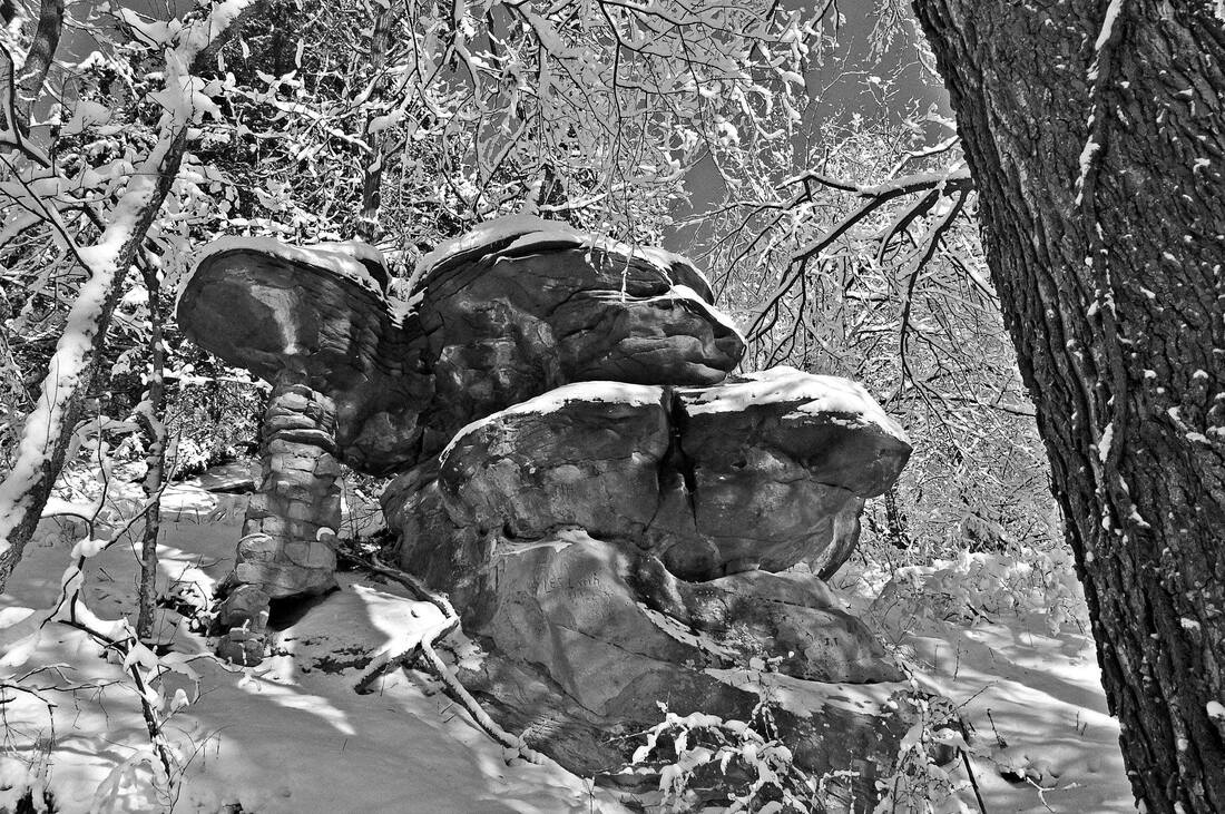
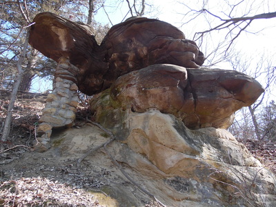
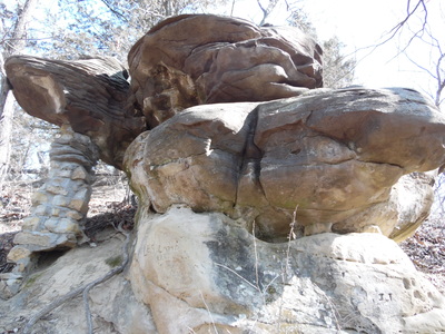
Photo 925, Turtle Rock by Kim Vrtiska, 2015:
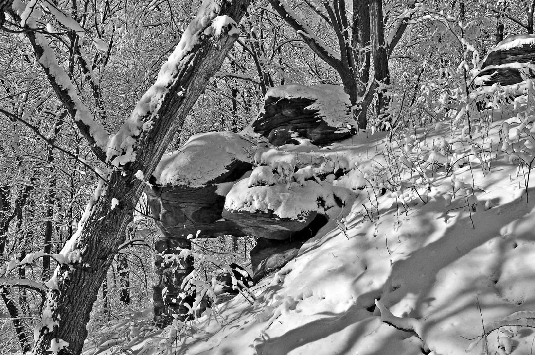
winter
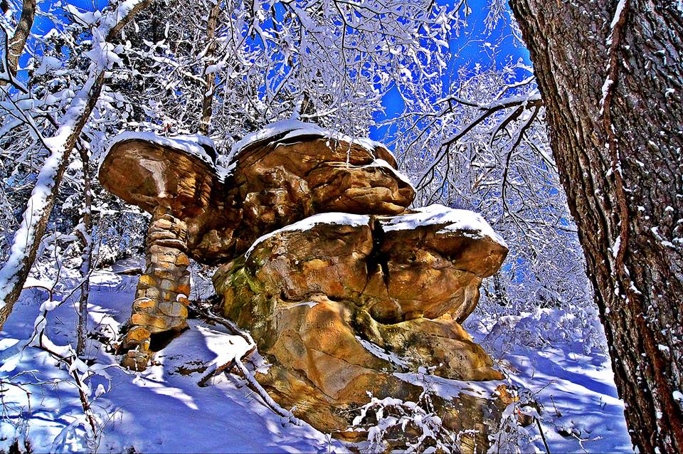
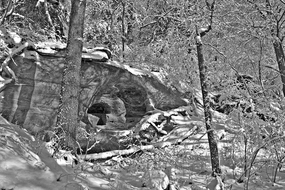
Three by Kim Vrtiska:
2018
Nebraska Geological association annual field trip
NEBRASKA GEOLOGICAL SOCIETY FIELD TRIP
By Sharla Sitzman
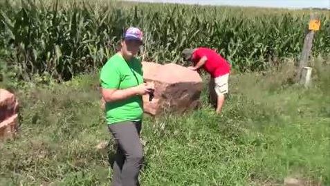
Everyone knows the big pink quartz boulders that are on 626 Road southeast of Table Rock. Two of them sit there where 713 Road intersects. Where did those boulders come from? Originally? They came from around Sioux Falls, near the village of Corson, South Dakota. I learned that from one of the geologists who recently took a field trip around the Table Rock, Dubois, and Humboldt area.
The Nebraska Geological Society’s annual field trip brought them here to see cyclotherms. The boulders were not cyclotherms but they were on the field trip.
Dr. Robert Diffendal, Ph.D., the field trip leader, explained that there are quartzite boulders all the way from the Sioux Falls area into northern Kansas. The glaciers brought them here. The glaciers were as much as one to two miles thick. They were like bulldozers, pushing rocks south as they came. Then as they melted, they were filled with the rocks, with dropped out then. Some of those rocks are big as cars.
The two on 626 Road are not small potatoes. Where did they come from most recently? Did someone bring them out of a field? Were they set aside when the road was made? Dump them off like lost puppies? I don’t know. But I do know they are from Sioux Falls. Oh – and they are old. Even for rocks. They are a billion years old. Most of the rocks on the field trip were 2 to 3 million years old.
The bulldozing glaciers occurred during the Pleistocene, which started 2.58 million years ago and lasted until less than 12,000 years ago. These sorts of rocks were too recent for more attention. These geological adventurers were on a field trip to see rock from the Paleozoic Era, specifically its late Pennsylvania and early Permian periods. They were here to look at rocks that formed between 250 and 300 million years ago.
As I said, the geologists were here to see cyclotherms. A cyclotherm is neither plant nor animal. What the geologists were looking at were layers of sedimentary rock that showed repetitions of sedimentary rocks and of fossils. A cycling of the environment in Paleozoic times, especially as glaciers and an inland sea “regressed and transgressed,” i.e., came and went i.e., cycled.
The various geological processes cycled as the environment cycled.
When you find a quartzite boulder, a geologist knows glaciers have been here.
If there are fossils, then the type of fossil shows the environment.
One celled organism, plant life, invertebrates like shells? When they see sediment with much organic matter, there may have been mud flats as the ocean here receded.
When they see sediment with plant life such as crinoid stems, they know that the sea was warm and shallow here because that was the environment that spawned them. Crinoid stems, by the way, are the common fossils that we have collected as kids; they look like little mill wheels in pieces of limestone. These were long stems from a plant somewhat like a water lily, I learned.
When there are only microscopic pieces of organic matter, the sea may have been deeper, colder, restricting organic matter.
As you would guess, a knowing analysis of the layers of rock give clues to the changing prehistoric landscape – the paleoenvironment -- to climate change, and to other scientific mysteries having to do with groundwater, soil, and rocks.
The geologists came to this area because in Pawnee and Richardson Counties the cyclotherms are readily seen because of natural outcrops and human intervention such as road beds.
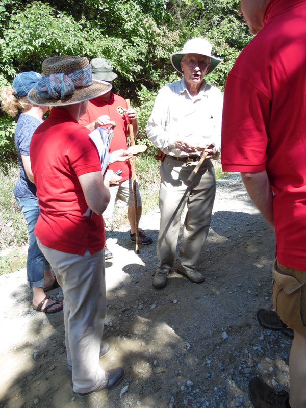
The field trip began in the Table Rock Public Square, with a geological map of the “Table Rock 7.5 Minute Quadrangle” spread on a table in the picnic shelter. Dr. Robert Diffendal, Ph.D., ran through what they would see. There were about 7 geologists and a florist.
Dr. Diffendal has been here before to study the rocks, most recently in 2003. He is a professor emeritus with the University of Nebraska; he retired from teaching in 1980 and then took a job with the University of Nebraska in the Conservation and Survey Division of the School of Natural Resources. According to the website for the University of Nebraska, for almost 100 years, the Conservation and Survey Division has had the job of investigating and mapping Nebraska’s geology, water, and soil resources. They produce maps for the U. S. Geological Survey, they do geological test hole digging, and issue ground water level reports. Dr. Diffendal is retired from that, too, but he takes education and service seriously and lends his expertise.
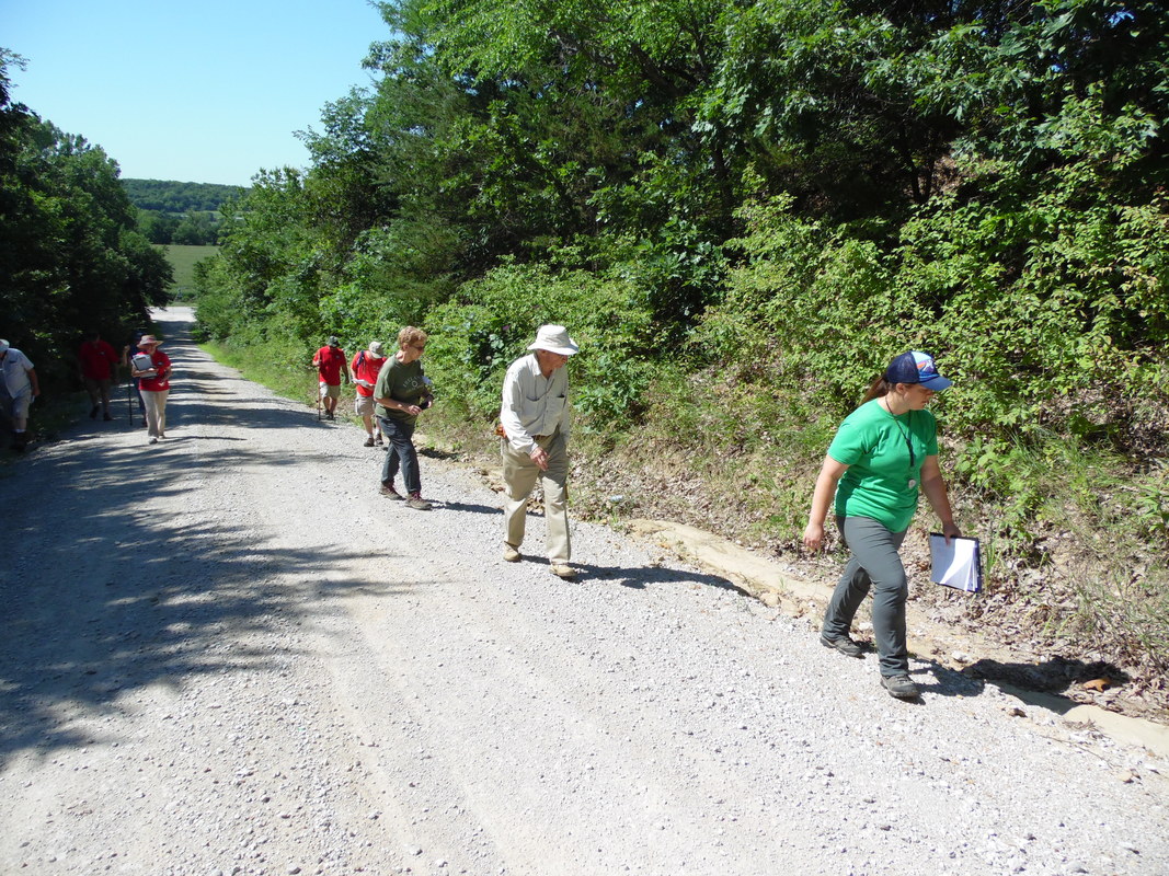
The first stop on the field trip was what is locally called Goat Hill. It is the first road east of Table Rock, and has existed only since about the 1940s. The cut that was made has revealed layers of what the geologists called White Cloud sandstone. This was along both sides of the road about 2/3 of the way up the hill from Highway 4, a clay-colored crumbly rock.
Over the hill and into the woods were the famous Rocks. “The” Table Rock used to be there, a flat rock with three legs and one side supported by the hillside. The geologists were unable to see the Table Rock. It was last seen around 1870.
There are other large rock formations there, too, including the Turtle Rock, but there was no time. However, I did learn something about them. The map Dr. Diffendal showed included a cross section of land in the area and, surprisingly, the Goat Hill area was once at a lower level. The sedimentary rocks around here, the limestone and sandstone, built up around them, and then have eroded away to reveal them. How old are The Rocks? One of the geologist responded to the question with a gesture – “Old. Really old.” Apparently The Rocks are ancients surrounded by sedimentary youths that are as young as 2 million years old.
The next stop was a cut on the west side of 626 Road just up the hill from the Reno Inn. It looks like mud to the average man but it is an interesting outcrop of sandstone to the geologists. According to the field guide, this showed layers of an “unfossiliferous” shale, a limestone with “algal-coated marine fossils” that marked a near shore situation, more layers of deposits without fossils, and some Happy Hollow Limestone. The Happy Hollow Limestone is, FYI, a “rotten, clayey limestone that is a dark yellow-orange on weathered surfaces” and has no fossils. Then there were layers of various types of shale, and a limited layer of Rulo Limestone, which is a type that has numerous large invertebrate fossils. The nature of this collection of layers suggested a rapid rise and a rapid fall of seal level.
Then came the stop to see the quartz boulder brothers on up 626, just before you get to Tom and Dena Hildebrand’s farm. From there, I followed them to Iron Horse Lake. There, on the far side of the earthen dam, was an outcrop that they found wonderful.
The geologists, after I left them, were headed for places that included an uncommon exposure of part of the Humboldt fault, which is actually a complicated series of faults and steeply dipping rocks running around Humboldt. There is only one place where a displacement can actually be seen and that is east of Humboldt. That was on the field trip. But I missed it.
I had only the morning free to join this group of scientists. Perhaps that was enough. My brain will accept only so many new words at a time, especially where they have many syllables. I liked the sounds of the words – unfossiliferous is a favorite – but despite the best and patient efforts of Dr. Diffendal to educate me as we went, I found myself regressing to a state where my thoughts drifted to things like, “How many years does it take to understand this? How many more years does it take to be able to understand it clearly enough to explain to nongeologists as Dr. Diffendal and his colleagues do? “
And, as my thoughts meandered during the driving between stops, there came the recurrent exclamatory thought: I can’t believe those boulders are a billion years old and they have documented that they came from around Corson, South Dakota! By the way, I googled Corson. The population of Corson is 70. A town half the size of Dubois! I believe another field trip is in order. I have one of those Sioux quartzite boulders next to my driveway. I believe I would like to see its home place.
recollections about goat hill
An August 2015 Facebook post generated some fun discussion.
THE POST:
Delores Penkava told me today of a day when she was little. Her grandpa, Charlie McCourtney, took her to what is now called Goat Hill. He told her she should see and remember what he was going to show her. It was a stone with an ancient drawing of the course of the Nemaha River. The stone is no longer there. Something happened to it when they put the road in at Goat Hill. This is mushroom rock, which is still there, I believe. You should go out to Goat Hill when the weather cools down. ·
THE DISCUSSION:
Kim Vrtiska. No Mushroom rock is gone, only the sandstone base is left.
Mustang Gregg The oldtimers and I call it Rock Hill for obvious reasons.
Stan Sitzman When and who started calling it Goat Hill?
Sharla Sitzman Cerra I've heard from more than one that it wasn't called Goat Hill until they built the road up it. Not sure when that happened. 40s? I THINK a bridge washed out and they needed better access to the north. I'm sure someone can chime in with a more accurate story.
Joyce Newton We ALWAYS called it Goat Hill-- friends just drove me up it when I was back in June--it had loomed larger in my mind than it was.
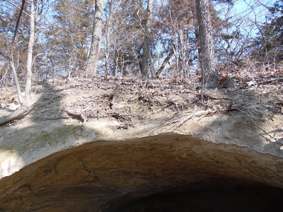
Larry Layden I played there as a kid and I remember two caves, one right above the other. There were hand/foot holes carved in the rock to enable access to the upper cave. There was a fireplace in the upper one. Both caves were large enough to hold 10 or so people. They looked out on the bottom land below towards the west. I returned 20 years ago and nothing was the same. The bottom cave had filled up with dirt that had washed down the and couldn't be seen. The top cave was nearly full of dirt and the toe holes and the rock face were buried. At least I have my memory's .
Kim Sharpe There is a buffalo carving north of binders house as the hill side curves .
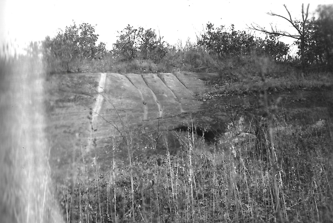
Sharla Sitzman Cerra Larry Layden yes things seem to change out there over time. I was disappointed that I had trouble finding the sliding rock, with the grooves in it. I THINK I found it, but..... And all the trees out there! I remember trees but not like there are now. And of course the pictures from the 1930s show the whole place all cleaned up and totally accessible. A news article I read also talks about roads winding through that park (it was Van Fleet Park in those days).
Sharla Sitzman Cerra Gloria Joy if you have a chance would you ask your Dad about whether it was always called Goat Hill? And when that road was put in? Delores could tell me that Wayne Minchow did it, but wasn't sure of when.
Mustang Gregg I was told the sliding rock's groove were cut by Indians. Or were they cut by white folks? I think I know about where it is. Let's wait until fall or winter, though.
Roy Mullin Neat place
Sherry Winkinhofer Sharla, Delores told us that it was called Goat Hill even before the road was built up it, but she didn't know why. IT does make a person wonder, I don't believe goats were native around here!
Larry Layden I remember the rock face with the groves. They were a mystery to me also. I knew they were not natural but had no idea how they got there.Then I asked Joe Shocker(wrong spelling) about them and he said they were caused by kids sliding down the rock face and the groves were worn into the rock by the shoes worn by the kids. Think he said they used gunny sacks to sit on to save wearing out the seats of their pants. I latter tried it out and found I should have used a gunny sack also!
Larry Layden Dad told me Wilbur Bulholtz (?) Would overhaul a car or pickup and then drive it to goat hill to check it out. If it made it to the top fast enough and in a high gear then figured it was road worthy. He overhauled Dad's pickup and told Dad the truck was throwing rocks I'm high gear!
·Kim Vrtiska We slid down them all the time, there are about 6 grooves , 4-5 inches wide and several inches deep. You put out shoe in a groove, squat down, hold your other foot up and slide on your shoe down the embankment.
·Sherry Winkinhofer I remember doing that!
·Sandy Cerra My cousin, Ellen, sprained her ankle doing that!
·Stan Sitzman Right Kim!!! The first time I remember doing it was in Cub Scouts! What a blast!
Mustang Gregg Yep. We camped there a few times in the Scouts.
Jerry Vrtiska Remember the couple that was living out there years ago.
Sandy Cerra What couple lived where?
Stan Sitzman You mean the ones that lived out of their van parked at the top of the hill?
Jerry Vrtiska I thought it was a tent, but maybe van. Don't remember who they were.
Sandy Cerra It must have been after I left (1973). I don't remember anything about them.
Mustang Gregg I think the sheriff gave them some $$ to move on to the next county.
Mustang Gregg It was in the late '70's I recollect.
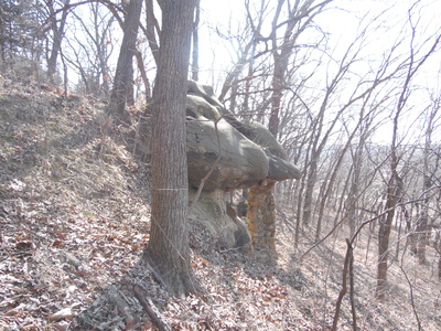
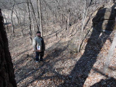
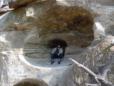
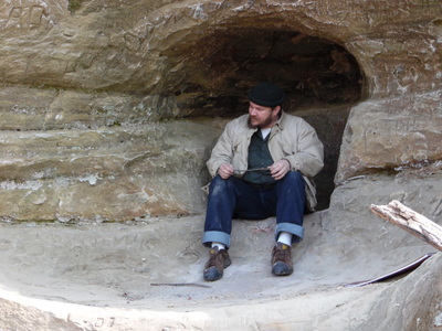
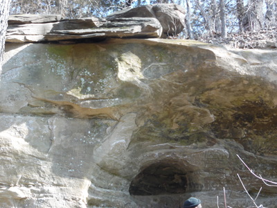
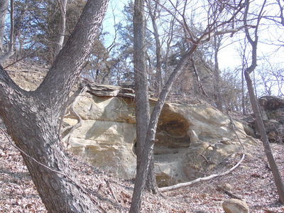
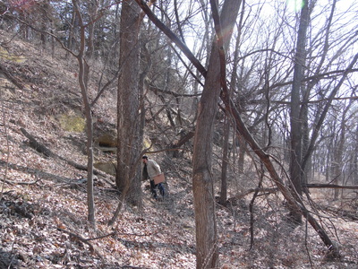
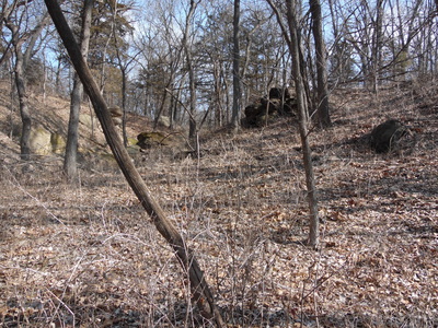
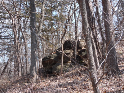
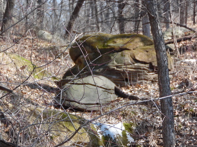
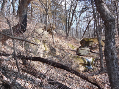
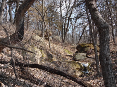
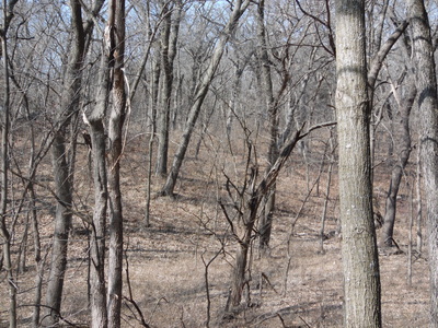
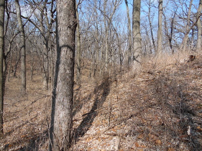
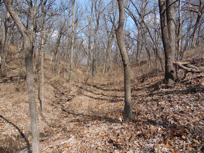
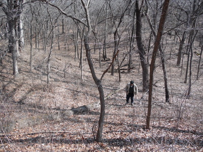
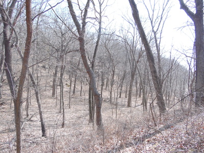
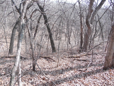
Taken February 2015 by Sharla (Sitzman) Cerra. Her son Carmen Cerra of Ames, Iowa, with his sketchbook, is in some of the pictures:
