maps
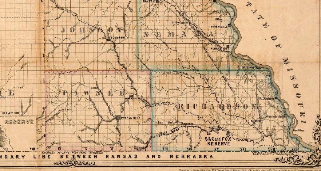
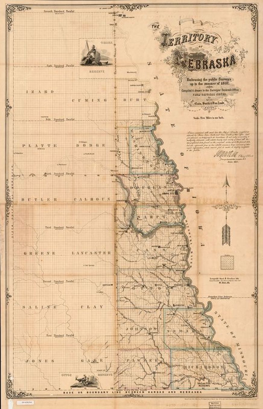
an 1857 territorial map
from the library of congress
|
Thank you to Wayne Steiner for finding and sharing this link to the Library of Congress for the map. You can download this map in different formats and resolutions from this link.
|
detail of the southeast corner of nebraska territory:
the full map:
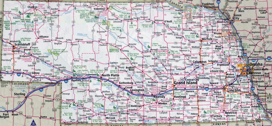
the map of nebraska a "few" years later:
an 1870 map of southeast nebraska
Table Rock did not show up in the video well, but it is a cool map, and the map is in Table Rock. It is in temporary storage, so if you want to see it, ask for it.
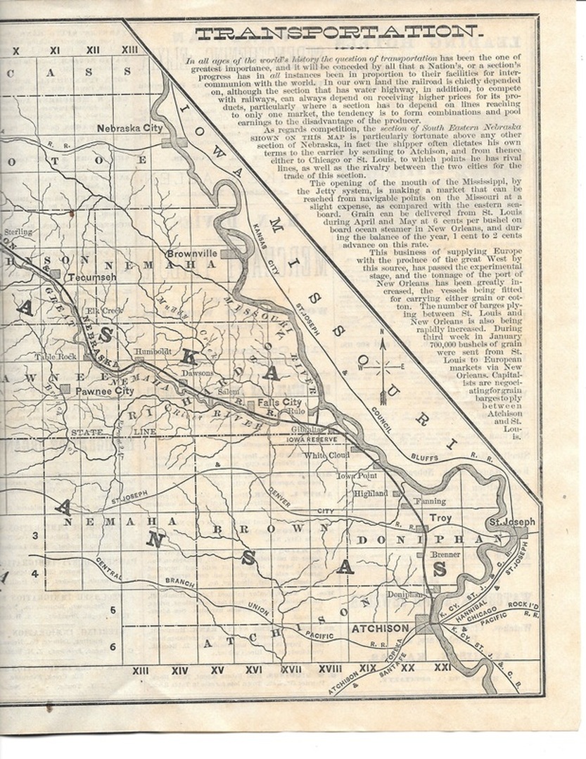
1878 - guide to southeast nebraska
|
Extensive promotional materials about southeast Nebraska sought immigrants, and included this map of the railroad system. The first train came through Table Rock in late 1871.
|
See the whole pamphlet!
|
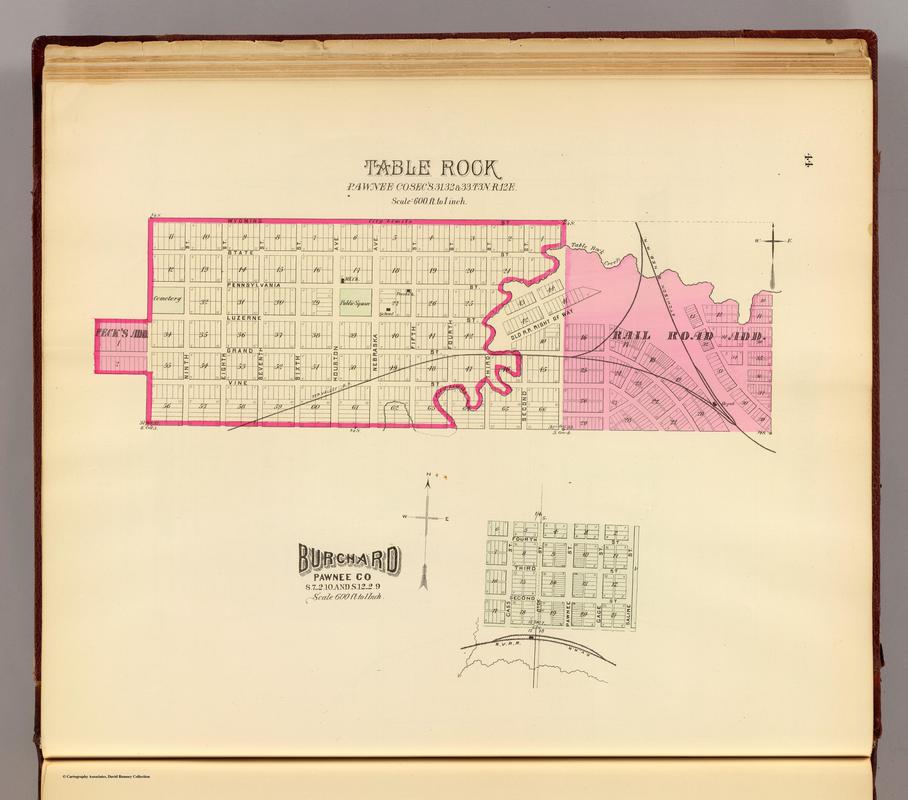
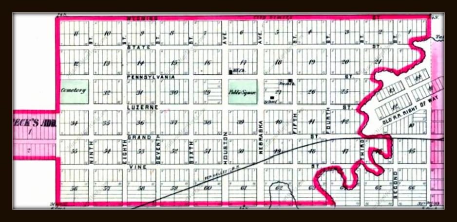
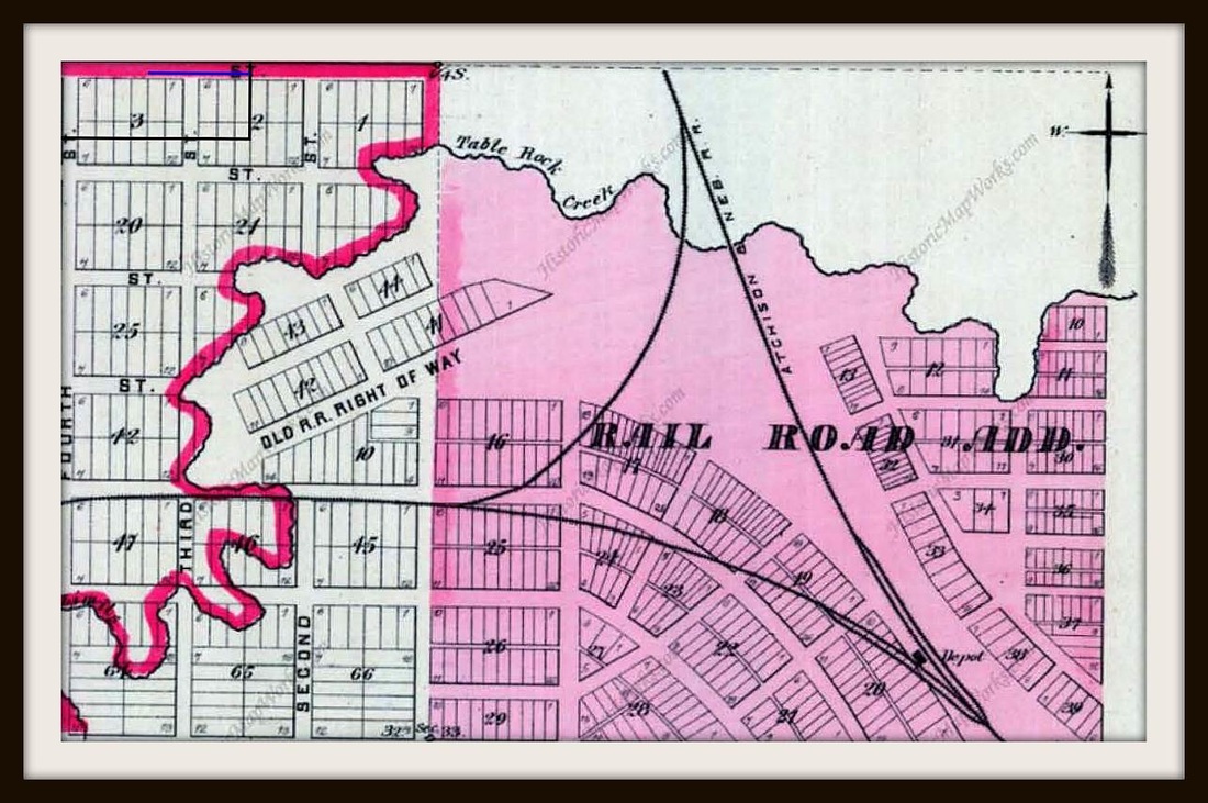
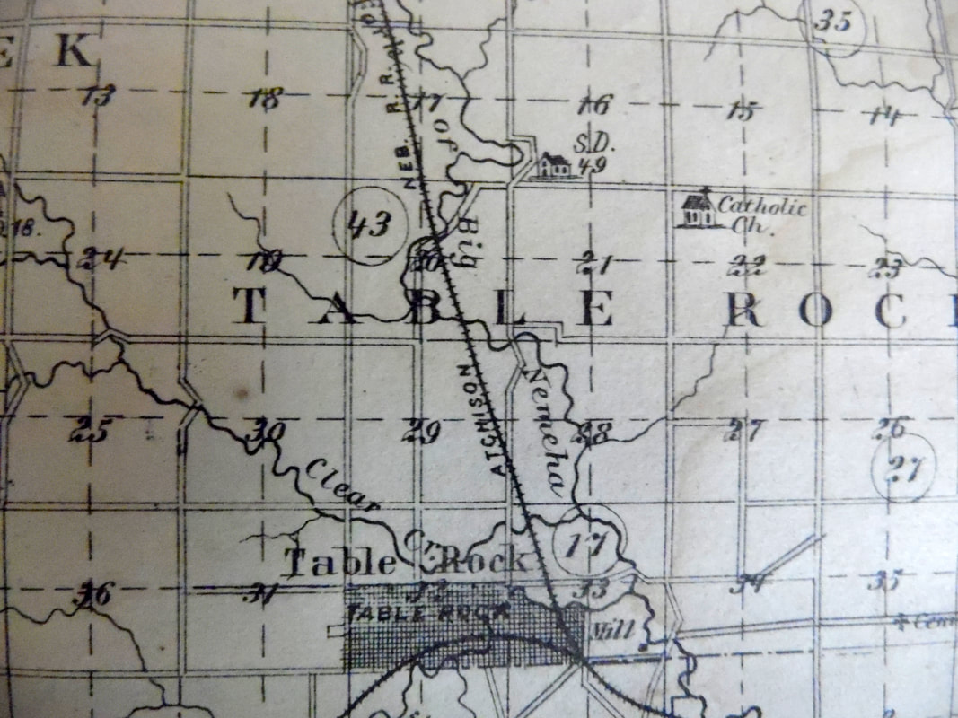
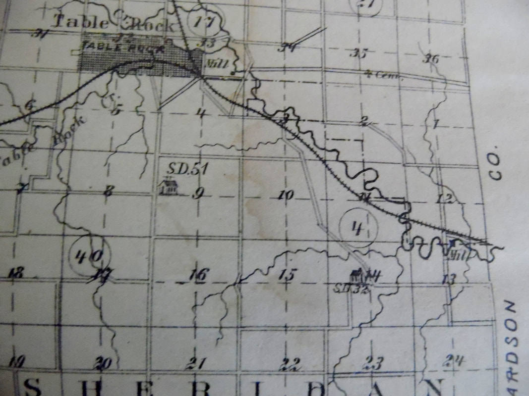
1884 original town and railroad addition
Original town was platted around 1857, when Table Rock was actually incorporated, by operation of law. The Railroad Addition was probably platted in 1870 because the railroad actually was built and the first train came through by late 1871. This map is from an 1885 book but was approved in 1884. The first view is from our original atlas, the others are from an online source.
1884
The identity of the source of these maps has been lost.
This section shows a Catholic Church out in the country but despite considerable effort there is no evidence found (yet?) that there was ever a church building. Nobody today remembers hearing about it, but of course this was many generations back. And no documentary evidence has been found either. Indeed, St. John's in town is supposed to have been built in 1877, well before this map's date. There IS an old Catholic cemetery at the noted location. Research continues.
This map DOES show the location of the original mill east of town, with a fuzzy arrow pointing to a bend in the river. An 1859 article in the Brownville Advertiser newspaper contains an account of a trip to Table Rock, which included coming upon the mill full of activity in the dark of night.
"S.D." means "school district" and the building marks the location of a country school.
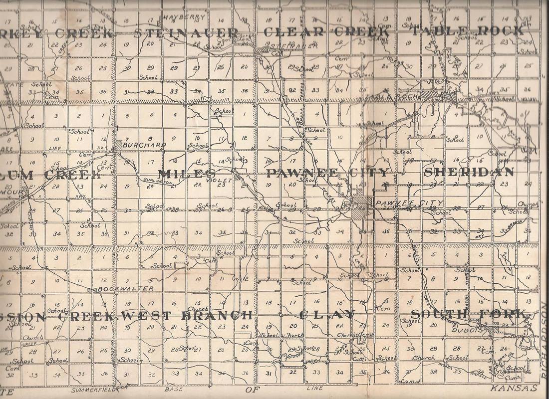
circa 1920, county platte map, shared by ray musil
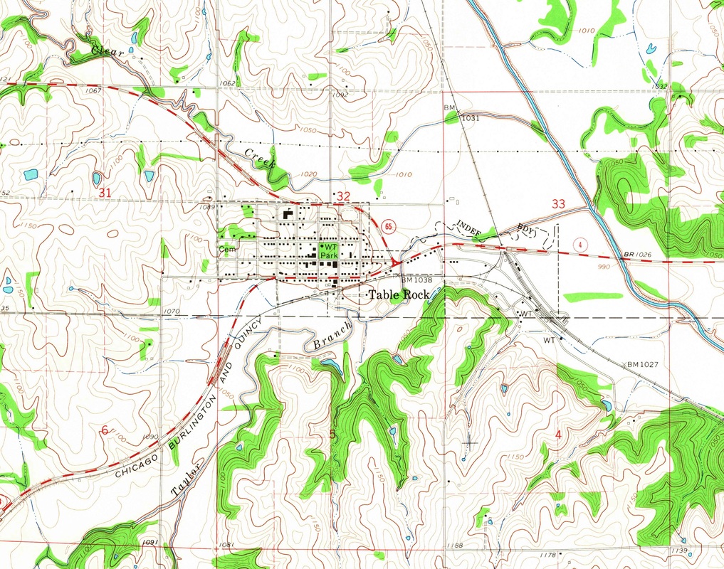
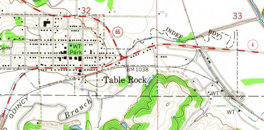
1965 - U. s. geological survey map
This shows Table Rock precinct, labeled in big letters, just below the actual town.
Same map, looking closer:
