the viaduct
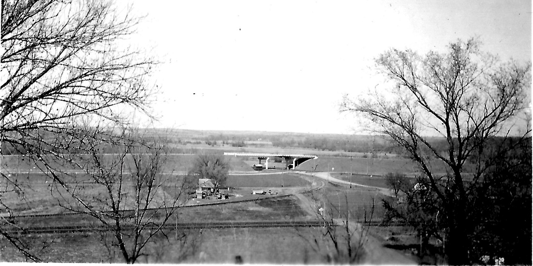
East of town on Highway 4, "the viaduct" carries traffic over the railroad tracks and on toward Humboldt. When was it built? That is still to be determined.
Arvid Blecha took the photo below, labeling it "The Overhead Bridge." He didn't date it, but it is in an album in which the photos that are dated (and there are many) were taken from 1941 to 1943.
Arvid Blecha took the photo below, labeling it "The Overhead Bridge." He didn't date it, but it is in an album in which the photos that are dated (and there are many) were taken from 1941 to 1943.
memories by two
historical society members
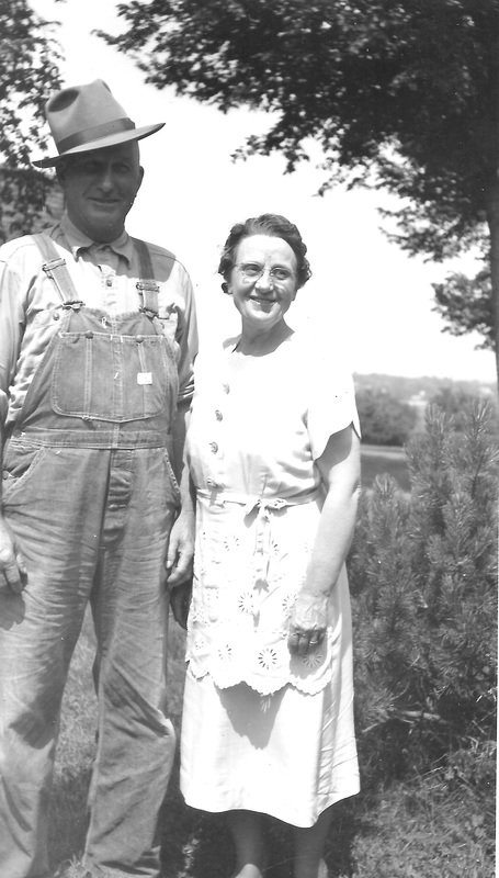
I think the viaduct was built in the 30's. Maybe in cooperation with the WPA Just guessing. I think Edward Tomek could tell us about those roads. I remember his remarks about the road alongside the viaduct when we were posting about filling stations at Table Rock. wes binder
|
I am the wrong person to ask about the viaduct. I thought it was built after the war, like 47 or 48 while I was in high school. more information!richard binder knew something about where the dirt came fromWhen we posted the comments by Larry & Edward, someone went and asked Richard Binder what he knew about all this. His wife, Karen. Karen reported what Richard remembered:
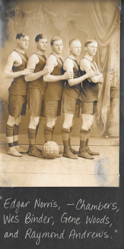
Richard's comments: My grandpa Wes Binder sold the dirt for the viaduct I think in the thirties. |
My brother-in-law, Lloyd Vrtiska, says he is pretty sure the viaduct was built in 1940.
Before then there was no road leading into Table Rock where the viaduct is now.
And there was no road going by Dens Locker or going by the ball field.
Coming from Humboldt you turned south on highway 4 about where Forest Binder lived and drove south towards the depot and turned at the railroad pump house. You then crossed Taylor branch near the railroad bridge.
Maybe that is the reason those slabs of concrete are in the river north of the railroad bridge on the line going to Pawnee.
You entered Table Rock on the street adjacent to the Catholic Church and then west to the town square.
Lloyd says the road shown in the picture going by Vess Harris ' s house is the road used now to go to the Reno Inn and depot. The one shown on the south side of the depot was removed.
The track close to Vess Harris ' s propane tank is the north leg of the wye connecting the Wymore line to the Lincoln line. The switch at the north end just north of the viaduct was the site of a derailment of a grain train in the 80 ' s I believe. Cars hit the underneath of the viaduct but did no harm.
before?
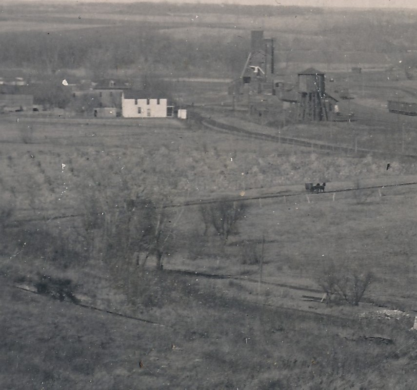
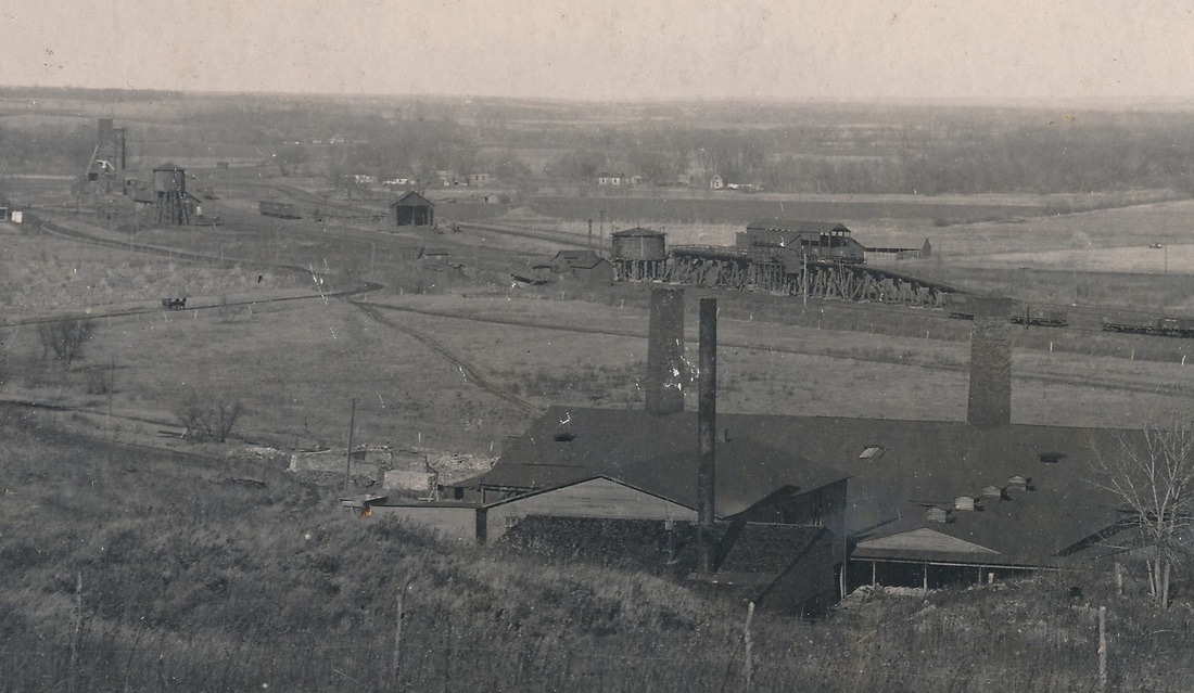
The photo below was taken by Archer King in the very early 1900s, from the bluff behind the Lower Brickyard looking toward the depot area. Perhaps an astute an eye could make out the general location of the viaduct today. (This is an excerpt of a larger photo.)
The full photo by King:
table rock in 1885
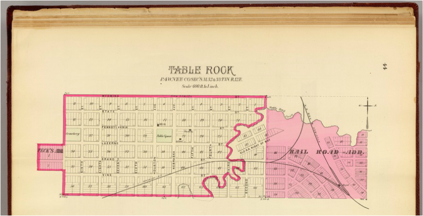
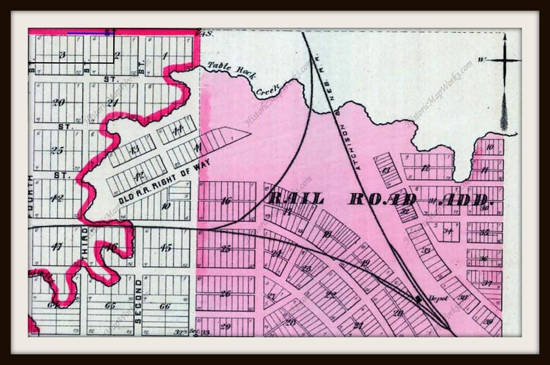
How did one approach Table Rock before the viaduct was built? This 1885 map gives some answers.
The same map, a little closer. The highway now runs on the north side of Blocks 41 and 42. Vess Harris's house is on the west side of Block 16.
